
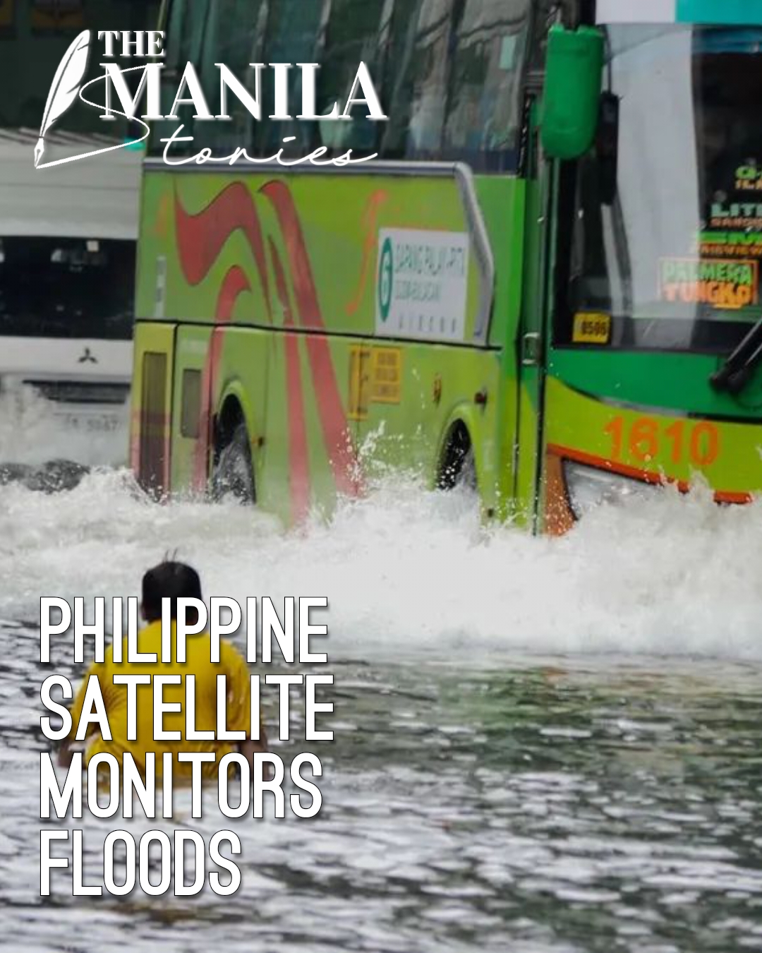
The Philippine Space Agency released new flood maps on Tuesday. The maps show flooded areas in Regions 1 and 2. Parts of Abra and Zambales are also underwater.
Heavy rains caused the floods. Tropical Storm Maymay and the Southwest Monsoon, known as Habagat, triggered the downpour.
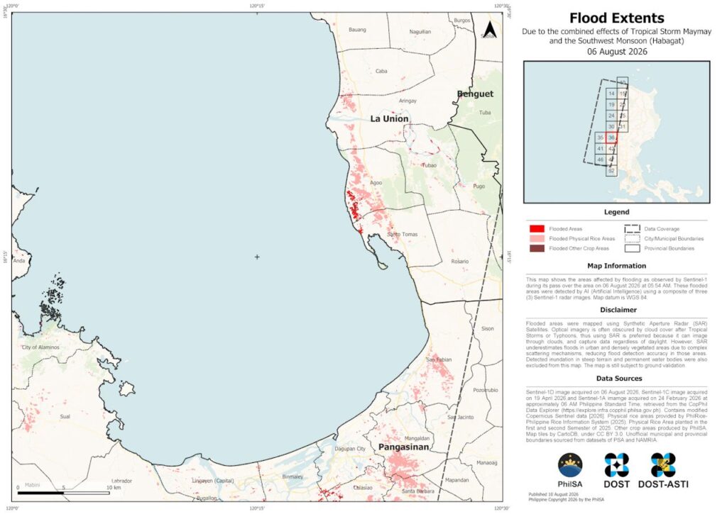
The agency used satellite images for the project. Sentinel-1 Synthetic Aperture Radar satellites captured the data.
The first image came from August 6, 2026. It covered Region 1. The second image came from August 9, 2026. It covered Region 2.
Artificial intelligence helped detect the water. The system used a composite of three radar images.
Radar imagery works well during storms. Radar signals penetrate thick clouds. Optical cameras cannot see through storm clouds. Radar also works day and night.
However, radar has limits. It can miss floods in cities and thick forests. Complex surfaces scatter the radar signals. This drops detection accuracy.
The space agency noted a warning. Officials must check the maps on the ground. The agency stated, “Please note that these maps remain subject to ground validation.”
The maps help disaster workers. The Philippine Space Agency aids the National Disaster Risk Reduction and Management Council. The data helps officials monitor the crisis. It helps teams prioritize rescue areas.
Space data improves safety. The agency explained its mission. The agency stated, “By making space data accessible to stakeholders, PhilSA enables informed decision-making and strengthens disaster response.”
Officials will keep watching the skies. The space agency will review new satellite data as needed.
Citizens should stay alert. Residents must check local and national advisories for updates.